University of Cádiz takes part in the new Antarctic Campaign with two projects to monitor Earth activity in the southernmost region 30 January 2026
GEO2OCEAN and ATMESHET sustain and expand continuous records in geodesy, geothermics and oceanography to improve understanding of tectonic and volcanic processes in the South Shetland Islands and the Antarctic Peninsula
The University of Cádiz is participating in the 38th Spanish Antarctic Campaign, which began last December, through two research projects that sustain and strengthen data acquisition in an environment that is particularly demanding for scientific work. This contribution is structured around GEO2OCEAN and ATMESHET, both focused on monitoring geodynamic processes and improving essential observational time series for medium- and long-term studies in Antarctica.
On the one hand, the GEO2OCEAN project, dedicated to maintaining historical geodetic, geothermal and oceanographic series in Livingston and Deception Islands during 2025 and 2026, continues a line of work carried out continuously during the austral summer since the 2000–2001 campaign. Its main objective is to maintain spatial geodetic observations at GNSS network vertices located on both islands, through stations that allow the analysis of tectonic geodynamic behaviour in the South Shetland Islands region, the Bransfield Strait and the Antarctic Peninsula. This includes year-round re-observations at BEJ2 and BEGC, and summer observations at FUMA and PEND on Deception Island.
In addition, this project integrates the monitoring of the tectonic-volcanic behaviour of Deception Island through the REGID network, whose 3D deformation models are updated campaign after campaign, while also maintaining observation series dating back to the very beginning of the Spanish Antarctic campaigns in 1987–1988, and uninterrupted in Deception and Livingston Islands since 2000–2001. Furthermore, since 2010, the Cerro Caliente geothermal station has been operating annually, recording anomalies at different depths that are relevant for studying the evolution of the Pendulum–Fumaroles fracture. Since 2014, annual records of instantaneous sea level and seawater temperature have also been obtained at oceanographic stations located in Colatinas (Deception Island) and Johnson Cove (Livingston Island), with the added value of data continuity in a context where operational difficulties are constant.
On the other hand, ATMESHET, with a time frame of 2024–2028, aims to improve understanding of the complex tectonic activity associated with the subduction process between the Phoenix microplate and the Antarctic Plate, as well as the volcano-tectonic activity of the Bransfield Strait spreading rift. To this end, the project proposes the establishment of a network of seismo-geodetic stations integrating cGNSS stations, accelerometers, tide gauges and seismic stations, in order to obtain time series of displacements, 3D accelerations, instantaneous sea level and seismic activity, thus moving from episodic observations to continuous observations at vertices of the Spanish Antarctic Geodetic Network.
The project also includes temporal and statistical analyses of these series to characterise pre-seismic, co-seismic and post-seismic phases, and to relate sea-level variability to the magnitude of geodynamic processes. In addition, GNSS data will be used for ionospheric and tropospheric modelling, through parameters such as Total Electron Content (TEC) and Precipitable Water Vapour (PWV). Parallel processing with different scientific software packages and satellite constellations is also planned, with particular emphasis on assessing the contribution of the Galileo system. The project further envisages a network of multiparametric installations on islands such as Snow, Nelson and Penguin, as well as in Cierva Cove, together with cGNSS stations with annual observations at points on Livingston, Low, Half Moon, Greenwich and Robert Islands, covering the area from the Hero Fracture Zone to Bridgeman Island, in order to enhance the detection of regional and local geodynamic processes.
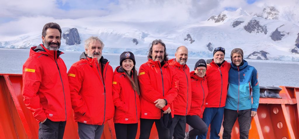
In this campaign, and within these projects, the University of Cádiz is represented by Manuel Berrocoso Domínguez, Amós de Gil Martínez and Belén Rosado Moscoso, working in coordination with research and technical staff from institutions such as the Spanish Navy Hydrographic Institute, the Royal Institute and Observatory of the Navy, the University of Granada, and the University of Modena and Reggio Emilia. The planned activities will be carried out at the Spanish Antarctic Stations Juan Carlos I (Livingston Island) and Gabriel de Castilla (Deception Island), as well as on board the research vessel BIO Hespérides, consolidating the contribution of the University of Cádiz to the continuity of key observations for Earth Sciences in Antarctica.